Heading out for a night surf session along the Welsh coast is one of my favourite ways to blank out the day and chase a quiet bite. But the tide at night is a different beast — shadows hide features, the beach can change shape after dusk and a rising shoreline will creep up on you if you’re not careful. Over the years I’ve learned to treat tide charts like a map and a warning light: they tell you when the fishing will be good, and they keep you from getting stranded.
Why tides matter more at night
During daylight I’ll walk the beach, read the sandbanks and spot lanes where the water flows. At night you lose a lot of those visual cues, so you rely on preparation. The tide determines where fish feed, how strong currents will be, and how quickly access routes — slipped rocks, narrow cobbled paths, or low ledges — can disappear. A proper read of a tide chart gives you a timetable for safe arrival and departure, and helps you pick the right gear and tackle for the session.
Which tide chart to use
Not all tide charts are created equal. For Wales I use local port predictions from reliable sources rather than generic coastline charts. My go-to references are:
When possible I look at two sources: an official tide table and a practical surf report or local webcam feed. The latter helps me see sandbar movement and beach shape changes after storms.
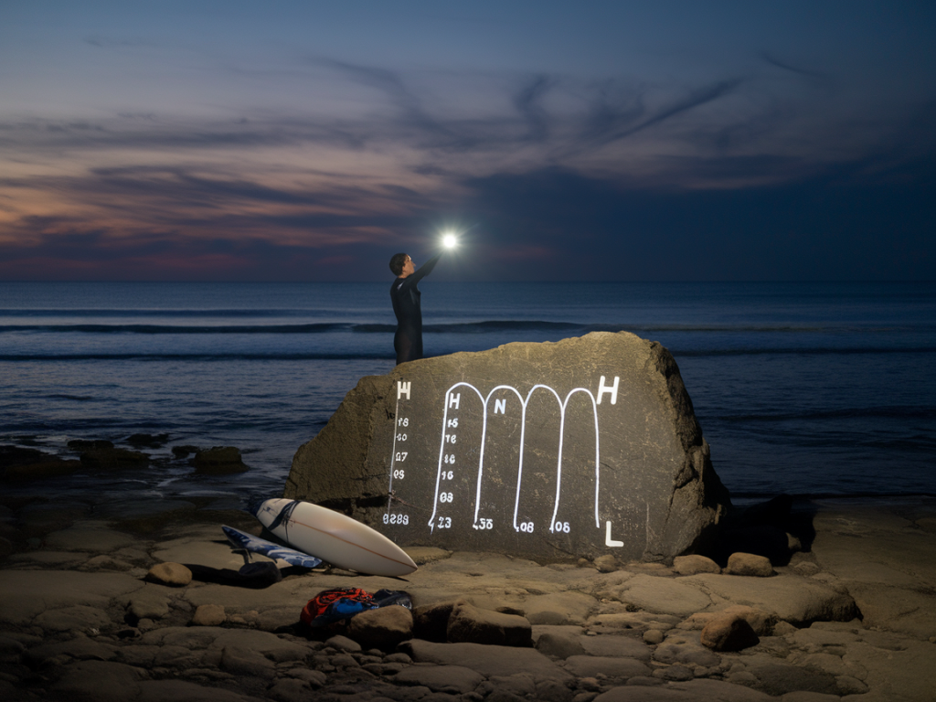
Understanding key terms on a tide chart
When you read a tide chart, pay attention to these elements:
Here’s a simple mini-table I use in the field to interpret the numbers quickly:
| Metric | Why it matters |
|---|---|
| Tide time (HH:MM) | Plan arrival/departure windows; bring headtorch for safe exits. |
| Tide height (m) | Estimate how far the water will travel up the beach; match to local landmarks. |
| Range (m) | Large range = rapid change; avoid narrow ledges and gullies. |
| Moon phase | Predict likely current strength and fish activity. |
Working out your safe windows
For night sessions I always calculate three windows:
Example: If high tide is at 02:10 and the height is 5.6m, and I plan to fish a beach that is safe only up to +3.5m, I’ll aim to arrive around 23:00–00:00 and leave by 01:30 at the latest. That gives me time to fish the incoming run without getting cut off.
Translating chart numbers to the real shore
Numbers on a chart need local conversion. I’ll mark a few landmarks on daylight visits — the top of the pebble bank, a boulder, a driftwood stump — and note roughly what tidal height they correspond to. Over time you build a mental chart: “At 3.2m the last cobble is covered”, “At 4.5m the gully fills”.
If you can’t do a daylight recon, use Google Earth elevation, local forum reports or ask the harbour office. Don’t rely on memory alone for remote spots.
Current and run time: the hidden danger
Tide charts give you heights but currents are the silent factor that influence your safety and fishing success. In narrow bays or headland channels the run can be strong even on a modest tide. Learn local current hotspots (often marked on nautical charts as tidal streams).
If you’ll be fishing lines into a strong run, use heavier leads or sliding rigs (I often use a 3–5oz paternoster or a breakaway float setup depending on conditions). For walking the beach in the dark, don’t underestimate how quickly a gully with a cross-current can knock your legs from under you.
Practical tools I carry for night tide-reading
These are the items that have saved me time and kept me safe on night sessions:
Checklists and pre-launch routine
Before I walk down to the water I go through a short checklist:
When things change: storms, sand movement and last-minute checks
Storms can rearrange beaches overnight. A safe looking passage in August might be a steep cliff by November. If the forecast shows wind gusts over 30mph, I either pick a sheltered venue or reschedule. Always scan the local coastguard or harbour authority updates — they’ll flag sudden changes or hazards.
If you arrive and things look different — stronger rips, higher waves, or an eroded ramp — don’t push it. It’s worth walking a bit further to a safer, less promising-looking spot than risking a difficult exit.
Local knowledge and community resources
Nothing beats local knowledge. I stay connected with tackle shops and regulars on the pier; they’ll tell you if the ford is flooded or the usual back-ledge is gone. Online forums and Facebook groups for Welsh anglers are useful but treat anecdote cautiously — verify with a tide table.
Finally, if you’re new to a spot, go in with humility. Night fishing is rewarding but it exposes you to risks the daytime doesn’t. Use tide charts as your primary safety tool, pair them with local observation, and always have an exit plan. Tides don’t care how keen you are — they only follow the moon, but they’ll remind you quickly if you don’t pay attention.